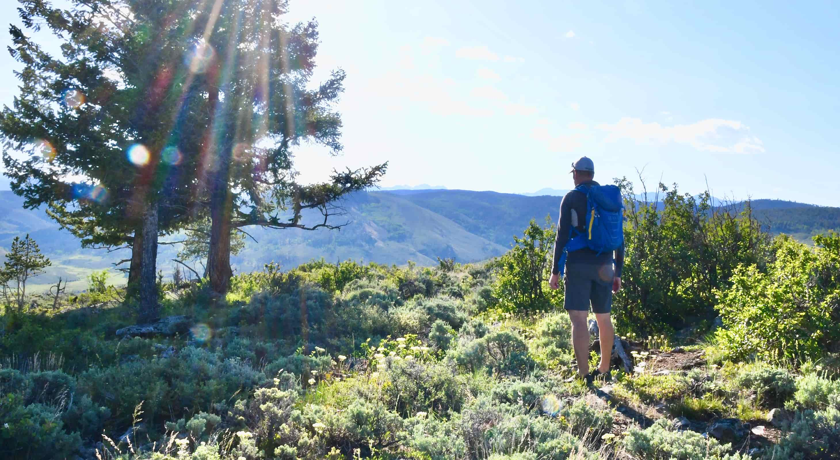
Our area is graced with mountains, rivers and forests, with hikes of all levels of difficulty – and trails for all abilities. At Wild Horse Inn we offer books, guides, maps and advice to help you plan your hiking day. Here are just a few of our favorites, in our immediate area and in Rocky Mountain National Park, just a 30 minute drive from Wild Horse Inn.
IMMEDIATE AREA
Byers Peak
Distance: 8.6 miles roundtrip
Difficulty: Diffuclt
Location: From the Inn, go back to Highway 40 and take a left. At the Shell station in Fraser, take a right. As soon as you go over the R.R. tracks, take a left. This is County Rd. 73. Continue past St. Louis Creek Campground parking and the Byers Peak campground. Take a sharp right at the Byers Peak sign and follow the directional signs to the Byers Peak hike and park at the gate.
Trail Description
This trail is an excellent day hike with its major attraction being the panoramic views atop Byers Peak. The trail starts at the gate and follows the road to the Trailhead of the single track hiking trail. This section of the trail can be used by both hikers and mountain bikers. At the single track hiking trailhead, there is a spot to leave mountain bikes.
From here to the top of Byers Peak, the trail is approximately 1.8 miles and is steep, with some bouldering required. The steep sub-alpine slopes do not provide any camping and hikers should be prepared for a stiff wind at tree line that generally blows atop the mountain. At timberline begin to ascend the several false peaks. A short section below the summit requires some bouldering. There is good fishing in the few small lakes just below Byers Peak although they require some strenuous cross-country hiking. Remnants of snow fields usually remain along the trail until the first or second week of July.
Columbine Lake
Distance: About 6 miles roundtrip
Difficulty: Moderate
Location: From the Inn, about 10 miles to the Junco Lake Trailhead, which is just beyond Meadowcreek Reservoir on CR 84.
Trail Description
Starting at Junco Lake Trailhead, take the well-marked trail towards Columbine Lake. Follow an old jeep road through the forest, crossing several creeks as you go. Not far into the hike, look for the remains of an old cabin on your right. Just before the Indian Peaks Wilderness boundary you’ll get great views of Mt. Neva. Continue to a fork and trail marker where you will bear right to Columbine Lake. (There is another great hike to Caribou Trail at this fork if you go left). The trail starts to climb gradually here, crossing some lush small meadows. Weave your way through the boulders along a beautiful creek until you come to Columbine Lake. Surrounded by trees and flowers, this is truly an alpine experience – and a great place for a picnic.
Devil’s Thumb
Distance: About 8 miles roundtrip
Difficulty: Difficult
Location: From the Inn, get back on Hwy 40 and just before Fraser, turn left onto CR8. Follow this road for 6.4 miles where CR8 becomes USFR 128 (The Water Board Road). Turn left and go 1.1 miles; turn right and go .3 miles to the trailhead parking by a spillway. This last intersection usually has a sign to the trailhead, but sometimes it’s not there, so use your odometer.
Trail Description
The trail begins by winding along pleasantly beside Cabin Creek as you pass the turnoff for High Lonesome Trail. Bear right at this intersection toward Devil’s Thumb Park (a huge meadow on your right). Cross a foot bridge and come to a spot where you have great views of Mt. Neva, Mt. Jasper, and a peak mirrored in the pond. At this point, the trail will begin to climb. The forest changes to timberline and the trees open to an alpine meadow. Continue hiking across the tundra where you can see the Devil’s Thumb formation take shape along the Continental Divide Trail. Pass two CD markers to reach Devil’s Thumb Pass. Head left and climb up the steep hill – the trail might be faint at this point, but just keep heading left and up. You will come to the Devil’s Thumb formation and huge views of the many surrounding mountains.
Jim Creek
Distance: About 7 miles roundtrip
Difficulty: Easier – Moderate
Location: From the Inn, head to the Winter Park Ski Area. Across from the main ski area entrance is Bonfils Station where the trail begins – park here.
Trail Description
Begin by taking the trail to the right along the Discovery Trail. At the end of the boardwalk make a sharp left onto a vehicle access road. The trail narrows to a singletrack. Cross FDR 129 (The Water Board Road). Parallel the creek and start to climb through the forest. Look for the aspen groves – these are absolutely stunning in the fall as the leaves turn – and James Peak. The trail fades into the marsh, but after the boulder field on your right, head left, back toward the creek. There are several waterfalls in this area as the canyon narrows. Follow the creek, staying right of the creek wherever possible. The trail reappears and you’ll hear the falls. (Do not go beyond the falls as there is private property at this point.)
Monarch Lake
Distance: About 4 miles for the loop
Difficulty: Easy
Location: From the Inn, take Hwy 40 toward Granby. Just beyond Granby take Hwy 34 toward Rocky Mountain National Park. Turn east on CR 6. Cross the dam and follow signs to Monarch Lake. Park at the Road Closed gate.
Trail Description
Pass around the gate and see the trailhead sign next to the cabin where you can register. Take the Southside Trail to the right around the lake, enjoying beautiful views of the lake with huge mountain backdrops. Cross over a dam and pass the picnic area. Climb to the remains of cabins which housed workers from the lumber company that operated here once. There is an old boiler on your left a bit beyond, thought to have been used at the sawmill. At the next fork continue straight on the Arapaho Trail. Cross Arapaho Creek to another fork. Leave Arapaho Trail here, bearing left and follow the Southside Trail. Climb through the forest and take a left at the next fork, continuing around the lake, back to the trailhead.
ROCKY MOUNTAIN NATIONAL PARK
Lulu City
Distance: About 7.5 miles roundtrip
Difficulty: Easy
Location: From the Inn, take Hwy 40 toward Granby. Just beyond Granby take Hwy 34 toward Rocky Mountain National Park. Enter the park at the Grand Lake Entrance Station and drive 9.5 miles to The Colorado River Trailhead. Tip: start early as is this a popular hike!
Trail Description
Ascend a short but steep incline as you leave the trailhead – the only real ascent on the route. Follow the trail along the river, continuing past the trail junction for Red Mountain. About two miles into the hike you will see the old Shipler mine trail spur and the remains of the Shipler cabins on the edge of a meadow. From here the trail follows an old stage road, rising gently through the forest until at approximately mile 3.5 you come to a side trail passing through the site of Lulu City. Return to the main trail and retrace your steps back to the trailhead.
Lake Verna
Distance: About 14 miles roundtrip
Difficulty: Difficult
Location: From the Inn, take Hwy 40 toward Granby. Just beyond Granby take Hwy 34 toward Rocky Mountain National Park. Take the turn-off for Grand Lake Village. Turn left onto West Portal Road and continue for 2 miles around the northeastern shore of the lake to a large parking lot. The East Inlet Trailhead is to the southeast of the parking area.
Trail Description
The trail begins with a steep ascent to Adams Falls, a beautiful cascade of water only .3 miles into the hike. The trail continues through forest and meadows, passing several campsites along the way. Switchbacks take you above the valley floor and the trail meets East Inlet Creek. The path continues to the left of the stream and climbs to Cats Lair Campground and Gray Jay Group Camp (approximately 4.9 miles in). Reach Lone Pine Lake at 5.5 miles. Pass Slickrock Campsite and arrive at Lake Verna – dotted with great picnic spots. Retrace your path back to the Trailhead.
Chasm Lake
Distance: About 8.5 miles roundtrip
Difficulty: Moderate
Location: From the Inn, take Hwy 40 toward Granby. Just beyond Granby take Hwy 34 toward Rocky Mountain National Park. This hike is on the Estes Park side of the mountains – it will take you approximately 2.5 hours to get to the trailhead from the Inn. This hike is well worth the effort as you drive over Trail Ridge Road and part of the Peak to Peak Highway to get there, and the hike itself is an area classic. Once you are in Estes Park, look for the signs to Hwy 7. Turn west at the Longs Peak area sign and follow the road uphill for 1 mile to the Longs Peak Ranger Station. Park here and begin your trek.
Trail Description
Begin your hike with a climb through the forest, passing Goblins Forest Camp and at heading 2.5 miles to Battle Mountain Camp. Continue to Chasm Lake Junction, bypassing other trail junctions. The trail is well-marked, and you can enjoy the stunning views of Longs Peak as you hike. At Chasm Junction continue straight, up a slight rise, and then descend to Peacock Pool and Columbine Falls and then to Chasm Meadows. Pass the stone park service cabin, and scramble up the short climb to the rim where you will see Chasm Lake. Retrace your steps back to the trailhead.

